Nayarit, Nayarit. Mexico. January 10, 2025 — Nayarit is located on the central west coast, bordering the Pacific Ocean including Banderas Bay in the south. Its terrain is broken up by the western ends of the Sierra Madre Occidental mountain range. Its highest mountains are: San Juan, Cumbre de Pajaritos, Picachos, Ceboruco and Sangangüey this last being volcanos. In the northeast are broad, tropical plains watered by the Río Grande de Santiago, a continuation of the Lerma River. The main state rivers are the Río Grande de Santiago, San Pedro, Acaponeta, Ameca and Las Cañas. Nayarit also has several lagoons such as the Santa María del Oro, San Pedro Lagunillas and Agua Brava. A variety of products are found to its variable geography and climate. Volcanic soil, heavy rains and many altitude variations due to the mountains allow for the diverse crops that include fruits, grain, sugarcane, cotton, and coffee.
Inland Nayarit is the Santa Maria del Oro Lagoon, that is a volcanic crater lake in western Mexico, near Tepic in the foothills of the Sierra Madre mountains. In this picturesque lake there are over 260 different species seen within 10 miles of the lake. There are a variety of habitats, lake streams agriculture fields thorn forests, tropical deciduous forest and pine-oak forest scrub. It offers excellent winter birding in a moderately warm and dry climate in the transition zone between the coastal lowlands and the interior highlands, the historic por of San Blas is only two hours away.
Birdwatching is coexisting with nature in its purest state, and there is nothing better for the body and soul than listening to them singing in complete freedom. San Pancho and San Blas are the best spots for bird watching, the entire Riviera Nayarit region provides excellent conditions for this activity since it is part of the western migratory route for birds traveling from North America to the south. The best season to observe migratory birds is from October to March.
Observation opportunities abound from Punta de Mita to the San Blas mangroves, including the San Pancho and El Pozo estuaries, and the La Tovara natural reserve. This makes it a very attractive destination for the world’s extensive bird-watching tourist market.
The area around San Blas has up to seven different types of ecosystems. The numerous natural estuaries and coastal mangroves are a tropical home for up to 250 endemic species; however, up to 80% of the bird population during the winter months consists of North American migratory birds.
Other notable places for this activity are Isla del Coral, Isla del Cangrejo, Isla Isabel, Chacala, La Vejiga Lagoon, El Quelele Lagoon, La Cortada Lagoon, Isla Isabel, the San Cristobal Mangrove Estuary, Islas Marietas, El Pozo Mangrove Estuary, Singayta, Tecuitata, and Zoquipan, which are home to unique bird species such as magpies, herons, gulls, pelicans, frigates, swallows, and, of course, the brown- and blue-footed boobies.
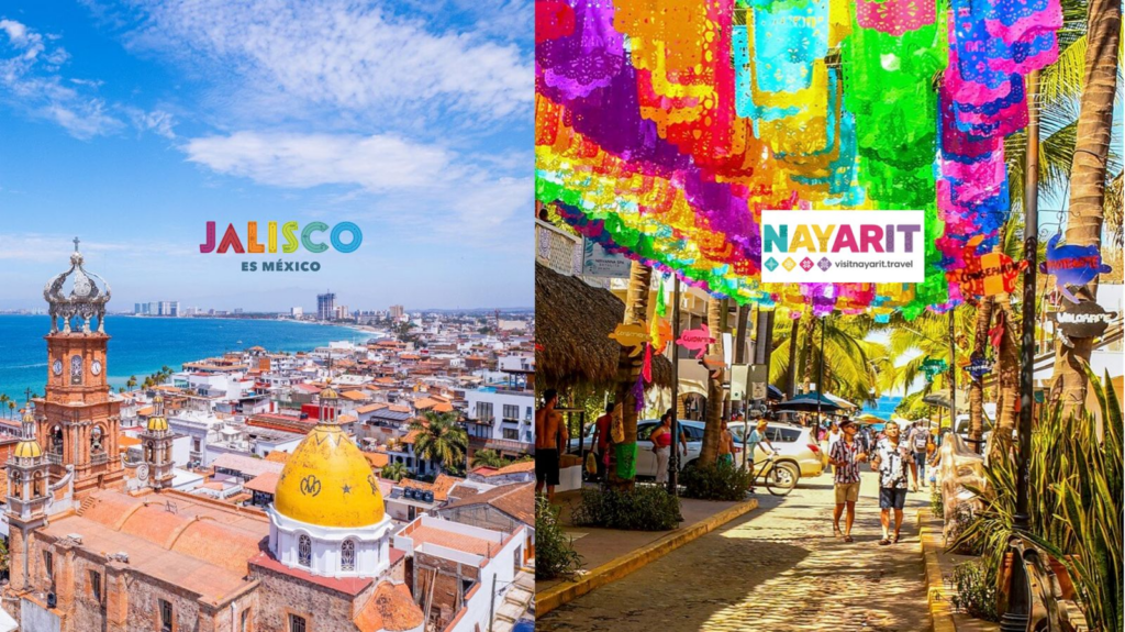
About Nayarit:
NAYARIT is a state in western Mexico, between the forested mountains of the Sierra Madre Occidental and the Pacific Ocean. More than beaches, there are also mountains, volcanoes, freshwater lagoons, colonial towns and people of ethnic groups: Coras, Huicholes, Tepehuanos and Mexicaneros who allow you to enter and buy their crafts and share their festivities. This area is known as Valle Nayarit.Riviera Nayarit, for its part, with its 192 miles of coastline, is home to the colonial city of San Blas, whose 16th-century San Basilio fort once protected the area from pirates. Just to the south are the surf-friendly beaches of Matanchén Bay, while to the north is the island of Mexcaltitlán, considered the cradle of the Aztec civilization.